Converts the geometry section of a shape file to latitude-longitude format
Source:R/team_10.R
team_10.RdConverts the geometry section of a shape file to latitude-longitude format
team_10(file, tolerance = 0.1)
Arguments
| file | File path of a geometry file, extension should be .shp. |
|---|---|
| tolerance | Tolerance level for thinning shape file. A percentage between 0 and 1. |
Value
A data frame object
Details
The variables included in the dataframe that is returned from team_10
are as follows.
name = subregion name depicted by the data
region = coded subregion
group = indicates which polygon a set of points corresponds to
long = longitude of the point
lat = latitude of the point
Examples
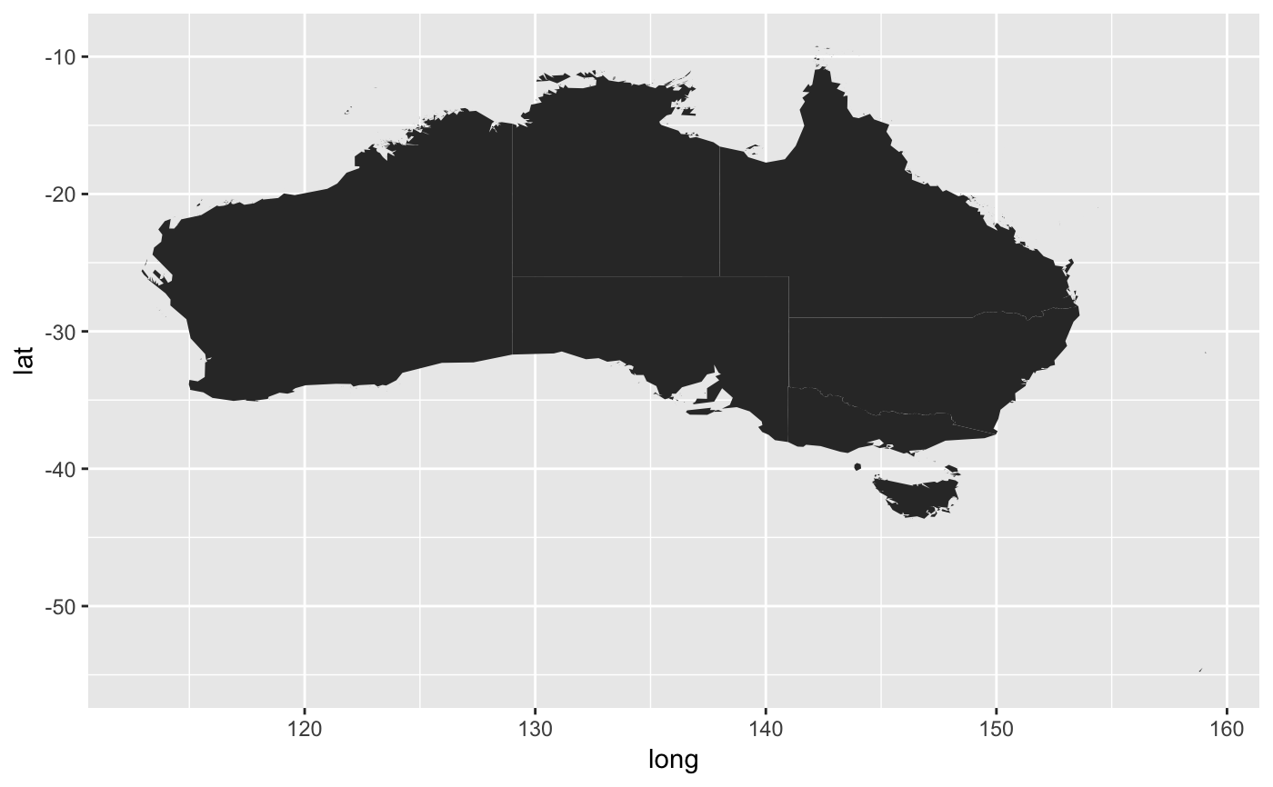
gdat_path=system.file("extdata", "gadm36_AUS_1.shp", package = "lab3team12") tmp=team_10(gdat_path,0.1) library(ggplot2) library(dplyr)#> #>#> #> #>#> #> #>#> #> #>